Browse Activities
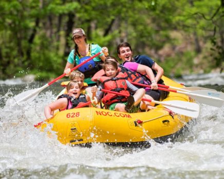
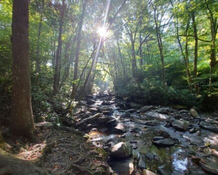
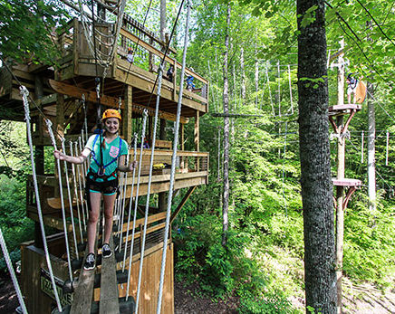
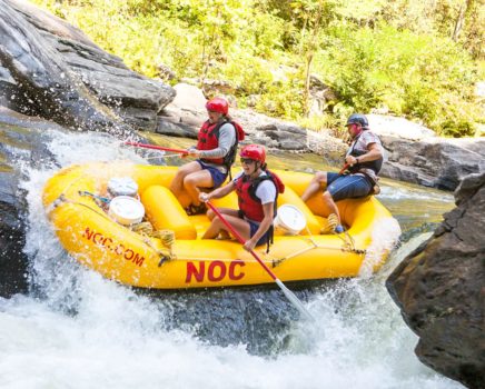
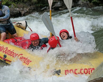
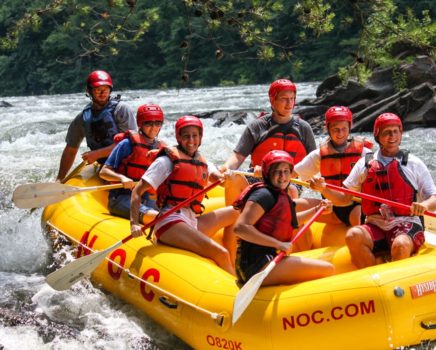
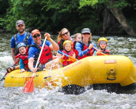
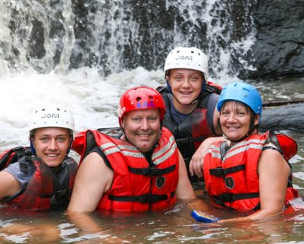
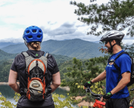
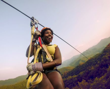
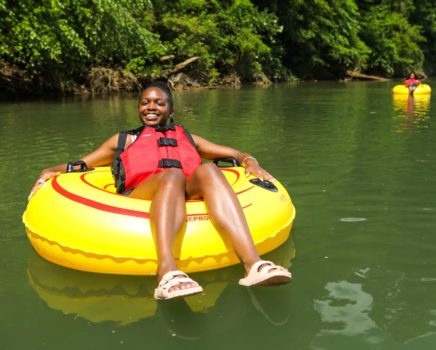
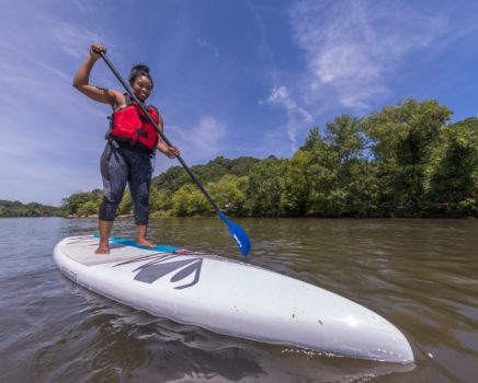
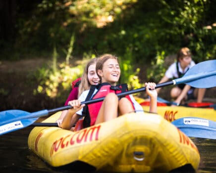
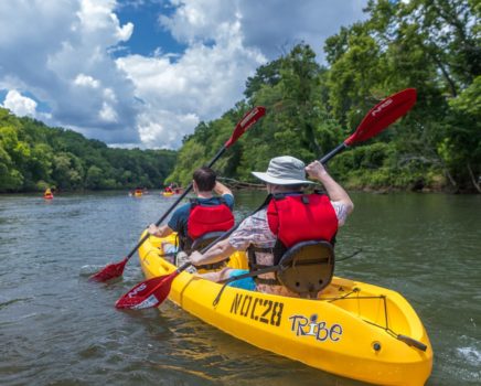
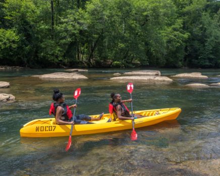
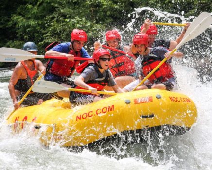
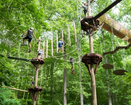
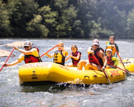
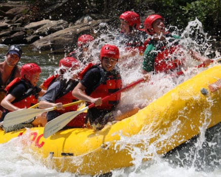
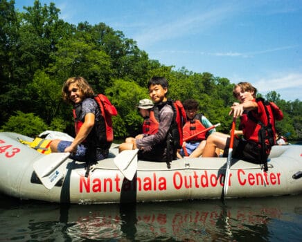
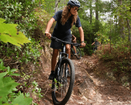
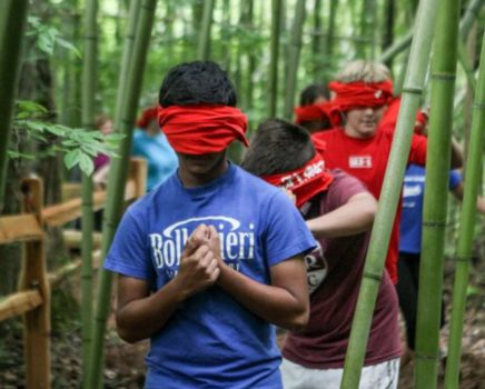
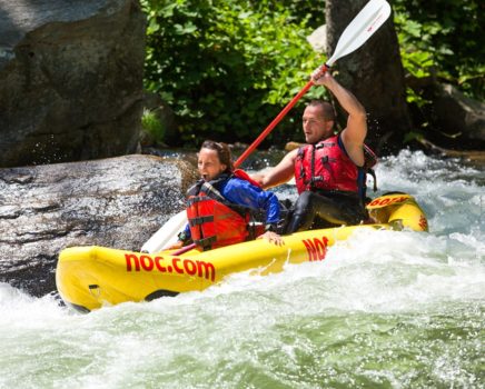
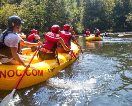
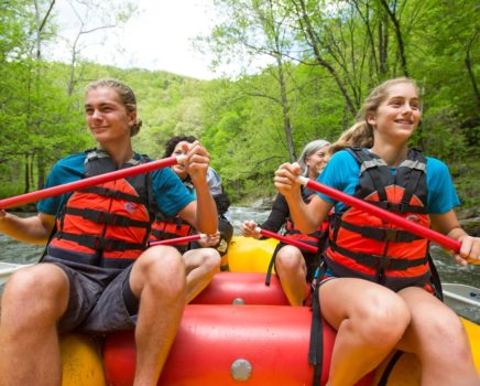
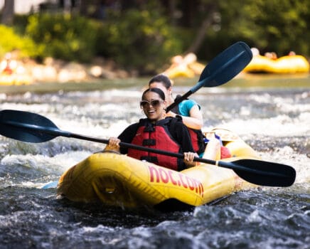
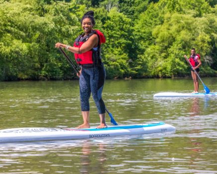
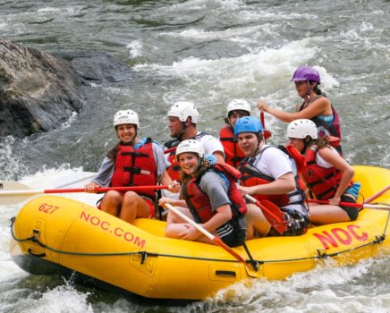
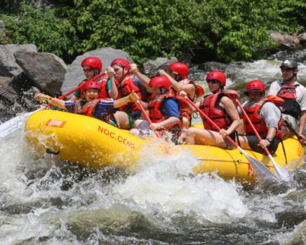
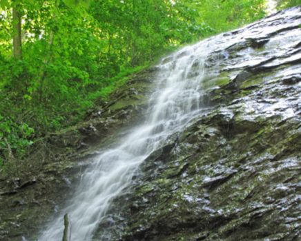
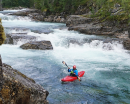
Plan your next adventure with Nantahala Outdoor Center! NOC offers more than 100 itineraries that you can sort by Whitewater Rafting, Zip Lining, Mountain Biking, and more! Filter by location, experience level, or activity type. Mix and match your favorites or book one of our packages for a full-day of fun! Planning your next adventure has never been easier.
Browse International Trips
Embark on exciting adventures around the world with the Leaders in Outdoor Adventure! NOC Adventure Tours offer small groups or solo travelers a way to experience new adventures in extraordinary places with a local feel. Every detail is meticulously planned from a diverse set of activities, unique accommodations, farm to table meals, and more. Experience some of the most breathtaking places in the world (without feeling like a tourist).
Filter byFilters
Showing 61 trips
Distance
Destination
Activity Type
Adventure Level
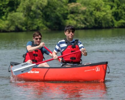
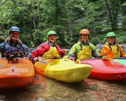
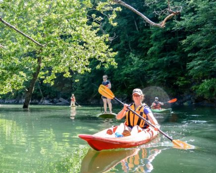
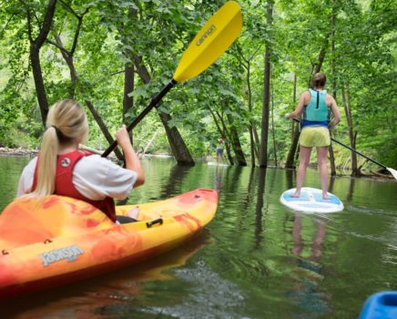
Learn to Paddle!
Offering beginner-expert level kayak and canoe courses with our renowned Paddling School!
Explore Courses
Request Information
Speak with an International
Travel Guide Today!
Call 833.800.8222 or
Send a Message
Contact Us