Shop Online for All Your Outdoor Needs
New All-Inclusive, Multi-Sport International Adventures added for 2024!
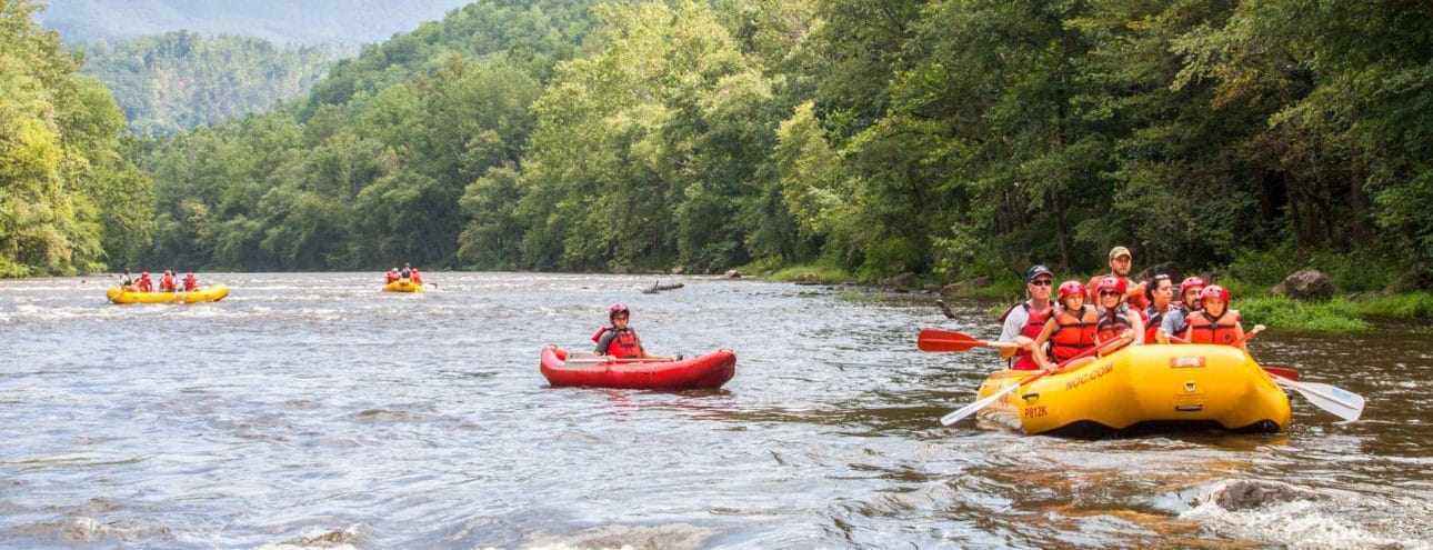
Share the splashes and smiles! Photo packages from your trip are the best way to share memories that will last a lifetime!
13077 Hwy. 19 W. Bryson City, NC 28713
9825 Hwy 25/70 Marshall, NC 28753
13077 Highway 19 W. Bryson City, NC 28713
1680 Hwy 64 Suite-B Benton, TN 37307
1138 Parkway Gatlinburg, TN 37738
3485 Hartford Rd Hartford, TN 37753
851A Chattooga Ridge Rd Mountain Rest, SC 29664
203 Azalea Drive Roswell, GA 30075
301 Johnson Ferry Rd SE, Marietta, GA 30068
5450 Interstate N Pkwy Sandy Springs, GA 30328
925B Riverside Rd, Roswell, GA 30075
Sign up for E news and get 10% off your next adventure!
"*" indicates required fields
No thanks, I’m not interested!